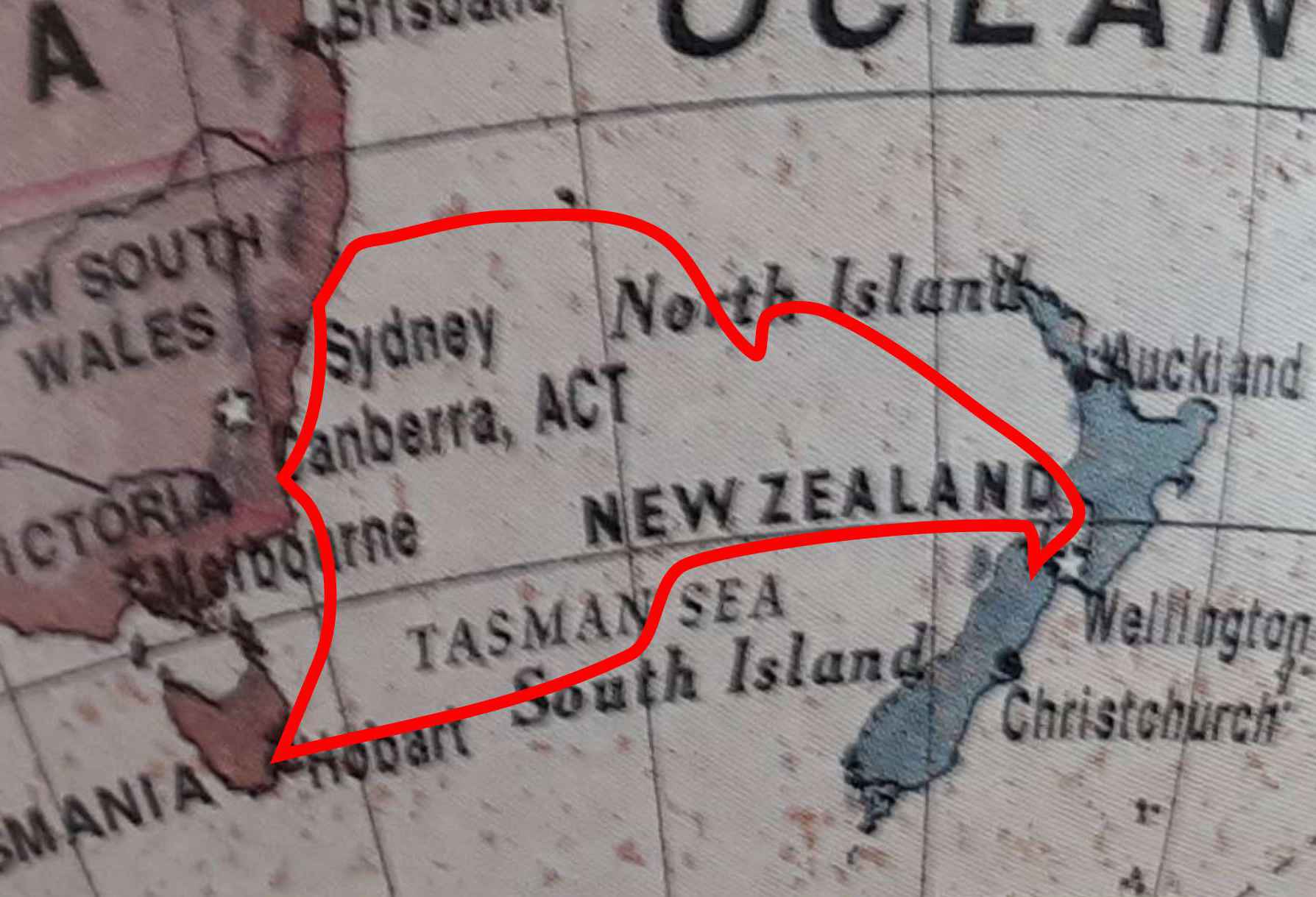
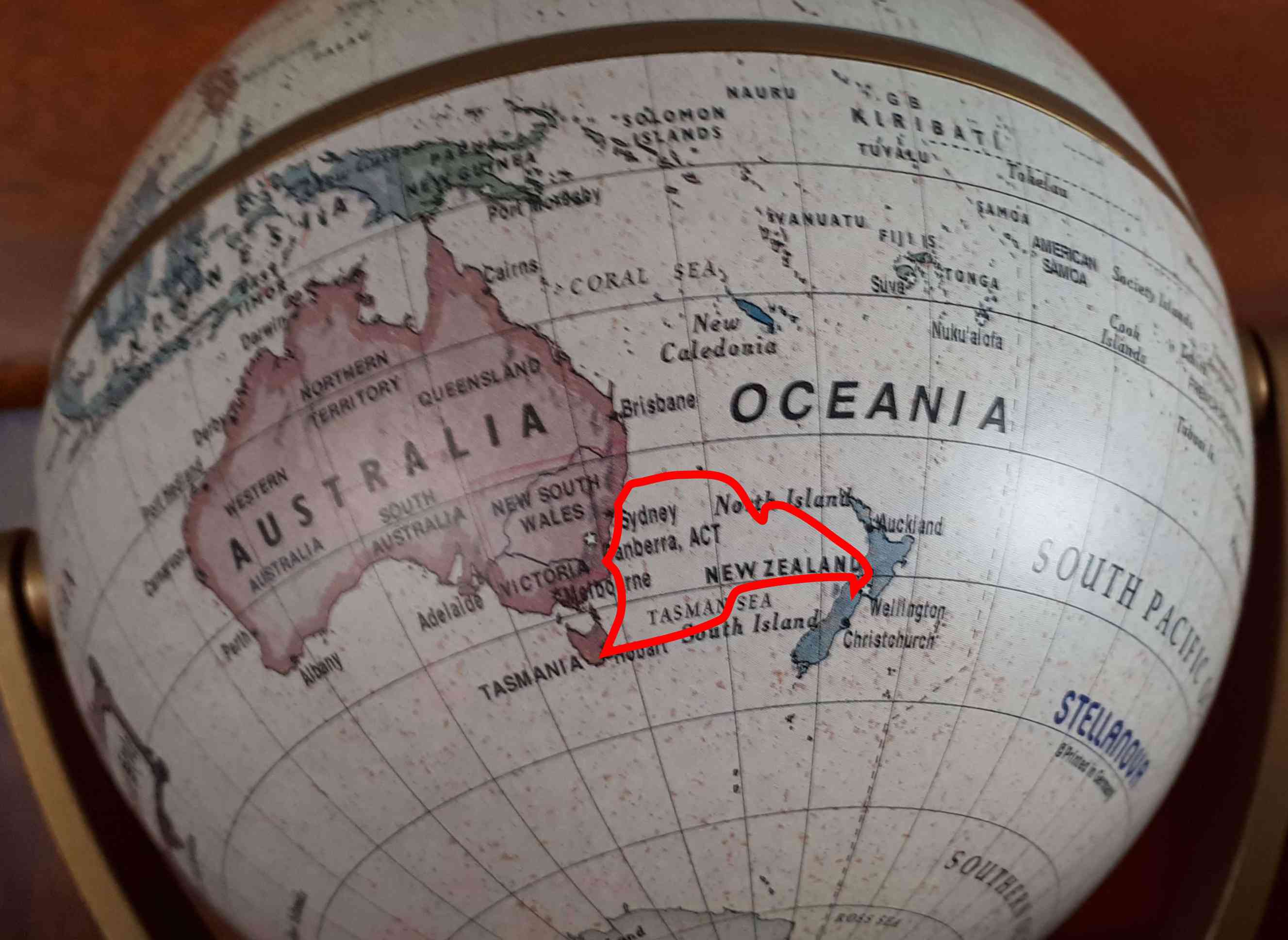
One should always have paper charts. We went one step further, 3D charts ie a globe.
Departed Kettering on 16 January 2018 and returned to Kettering on 25 April 2018.
Total 3 months and 9 days, 3829 nautical miles.
- Passage 1 Hobart to Nelson, 3 crew (Alex, Andrew and Bill).
- Cruising Nelson, Queen Charlotte Sound to Picton, 4 on board (Alex, Jackie, Andrew and Judy).
- Cruising Picton, Queen Charlotte Sound, Pelorus Sound, Durville Island, Nelson, 2 on board (Alex and Jackie).
- Passage 2 Nelson to Newcastle, 3 crew (Alex, Anne, David).
- Passage 3 Newcastle to Hobart, 3 crew (Alex, Anne, Jackie).
Watch system for the 3 Tasman Sea passages, with 3 crew, was 3 hours on then 6 hours off. It worked very well.
Weather information for the ocean passage planning and passage routing came from Predictwind, Bureau of Meteorology and Bob McDavitt (MetBob).
Weather information for cruising the sounds came from Met Service NZ.
An enormous thank you to all crew for helping to make this trip possible!!! You were all great.
By the way, we did have proper paper charts for all places visited including AUS4601 for the Tasman Sea, SE Australia to NZ. During the 3 ocean passages, positions were plotted on the paper charts and recorded in the log at the end of each watch.